
Ebony London
Ebony London
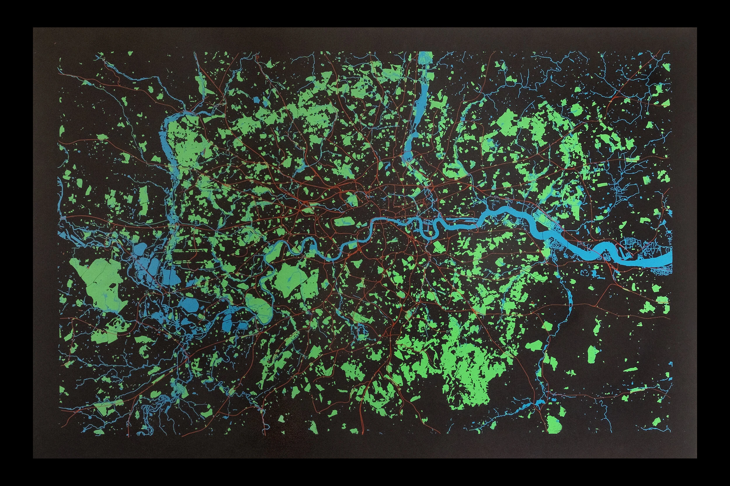
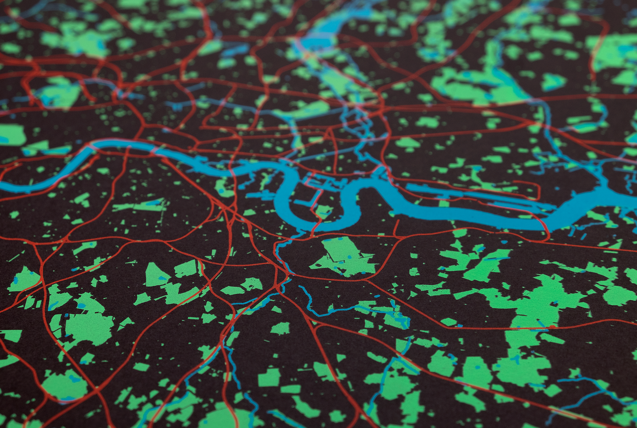
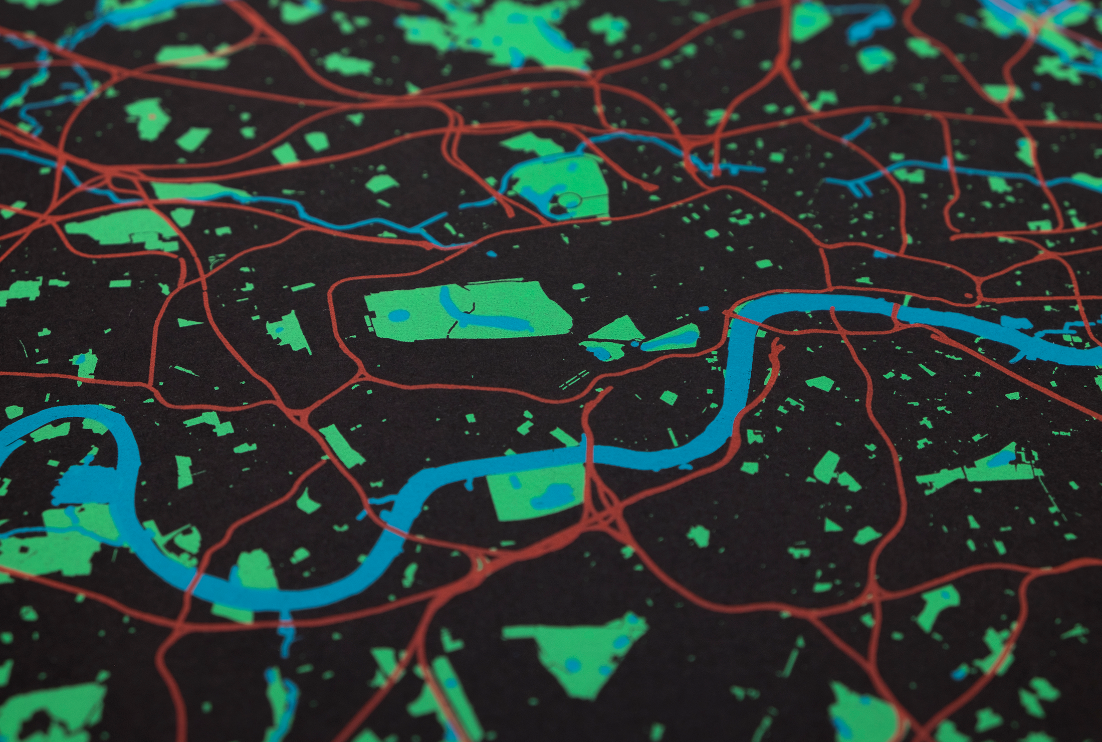
This is the first print of Paul’s ‘LikeMaps Project’, this map was designed using Ordinance Survey open-source data, which was then edited and tweaked to create three colour screens representing all green spaces, all water-ways and most of the railway lines in London
About understanding London, this map invites the viewer to see the city as shapes and forms - how the railway lines, water-ways and green spaces relate to each other. The clutter of information we expect maps to have, is replaced by the viewer’s memory and imagination.
Hand-printed in Peckham using three water based inks on luxurious G.F Smith Colorplan Ebony paper - an FSC accredited mixed source card.
Edition of 40.
Size: 960 x 630mm.
Postage - select ‘Large’ at checkout.
For a 25% discount use the code ‘PRINTJAN’ at checkout.
Due to a technical glitch the shopping cart doesn’t work on phones. To add this print to the shopping cart please use a laptop or tablet. (We will fix that but not today)


